
1
/
of
1
Books for Life
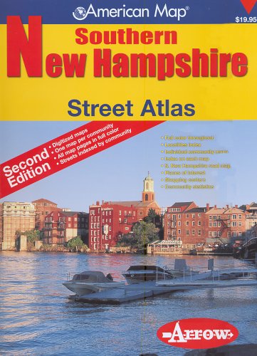
American Map Southern New Hampshire: Street Atlas
American Map Southern New Hampshire: Street Atlas
Regular price
$104.49 USD
Regular price
Sale price
$104.49 USD
Unit price
/
per
Shipping calculated at checkout.
Couldn't load pickup availability
The Southern New Hampshire Street Atlas covers 70 communities, each with their own separate, full-color map and street index. Maps indicate schools, post offices, libraries, golf courses, bike trails, parks and other points of interest. Every day, government transportation officials, road construction crews and local developers are working to make your maps and atlases out of date. That's why you need American Map. This atlas has been carefully updated so all maps are completely accurate. This atlas contains important changes such as new subdivisions near Youngsville Park, in the Grasmere area, in the Martins Corner area, and near the junction of New Boston Road.
ASIN: 1557513066
VSKU: LFV.1557513066.VG
Condition: Very Good
Author/Artist:Arrow Map
Binding: Spiral_bound
Note: Any images shown are stock photographs and product may differ from what is shown.
Condition Notes: Book is in very good condition. Clean with little to no signs of wear or markings highlights.
ASIN: 1557513066
VSKU: LFV.1557513066.VG
Condition: Very Good
Author/Artist:Arrow Map
Binding: Spiral_bound
Note: Any images shown are stock photographs and product may differ from what is shown.
Condition Notes: Book is in very good condition. Clean with little to no signs of wear or markings highlights.
Share